 vesseltracker.com
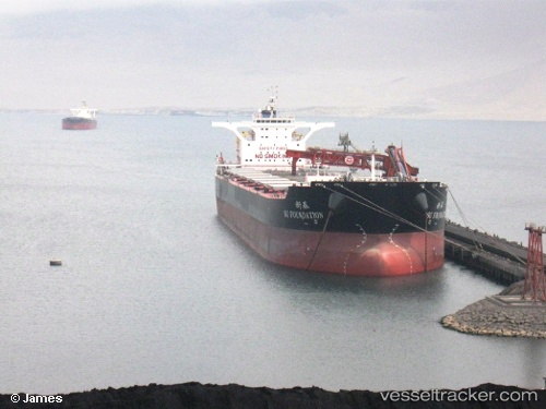
 OTSL THETIS
Current Status
Where is the vessel?
OTSL THETIS is currently in 101 nm W of Gageohyangri, based on AIS data received about 15h ago.
Latest AIS update:
Current position: 33.58167° N, 123.14833° E (101 nm W of Gageohyangri)
Average speed (last 7 days): Loading…
Average speed (last 30 days): Loading…
Vessel profile: OTSL THETIS is a Bulk Carrier with dimensions m x m.
This page combines live AIS, route history, probable destination signals, nearby traffic, and port activity for practical vessel monitoring.
The current position of vessel OTSL THETIS is 33.58167 lat / 123.14833 lng. Updated: 2026-05-17 17:56:23 UTCNearest reference points:
- 99 nm NE of Yangkou Pt
- 91 nm W of Gageohyangri
- 82 nm W of Gageohyangri
Currently sailing under the flag of Liberia ![]()
Details:
Live Vessel OTSL THETIS Analytics (details, animations, etc.)
Recent AIS points (UTC):
2026-05-17 13:49:45 UTC · 32.85072, 123.37528 · SOG 10 kn · COG 358°2026-05-17 15:45:16 UTC · 33.19458, 123.30620 · SOG 11.3 kn · COG 350°
2026-05-17 16:23:23 UTC · 33.31500, 123.28167 · SOG 11 kn · COG -1°
2026-05-17 17:56:23 UTC · 33.58167, 123.14833 · SOG 10 kn · COG -1°