 ALGOLUNA
Current Status
Where is the vessel?
ALGOLUNA is currently in Near Port Huron, based on AIS data received about 14h ago.
Latest AIS update:
Current position: 42.98155° N, 82.41449° W (Near Port Huron)
Average speed (last 7 days): Loading…
Average speed (last 30 days): Loading…
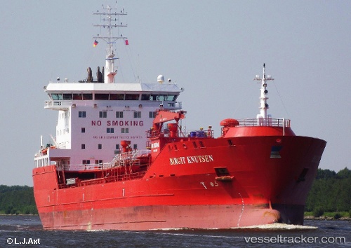
Vessel profile: ALGOLUNA is a Oil/Chemical Tanker with dimensions m x m.
This page combines live AIS, route history, probable destination signals, nearby traffic, and port activity for practical vessel monitoring.
The current position of vessel ALGOLUNA is 42.98155 lat / -82.41449 lng. Updated: 2026-05-21 10:43:07 UTCNearest reference points:
- Near Fort Gratiot
- Near Saint Clair Shores
- Near Walkerville
Currently sailing under the flag of Canada ![]()
Details:
Live Vessel ALGOLUNA Analytics (details, animations, etc.)
Recent AIS points (UTC):
2026-05-21 07:34:01 UTC · 42.98151, -82.41451 · SOG 0 kn · COG 12°2026-05-21 08:01:05 UTC · 42.98151, -82.41450 · SOG 0 kn · COG 13°
2026-05-21 09:34:07 UTC · 42.98152, -82.41451 · SOG 0 kn · COG 13°
2026-05-21 10:43:07 UTC · 42.98155, -82.41449 · SOG 0 kn · COG 12°