 OCEAN DEE
Current Status
Where is the vessel?
OCEAN DEE is currently in 69 nm E of Fernando De Noronha, based on AIS data received about 14h ago.
Latest AIS update:
Current position: 4.22903° S, 31.34277° W (69 nm E of Fernando De Noronha)
Average speed (last 7 days): Loading…
Average speed (last 30 days): Loading…
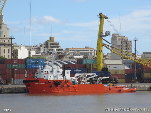
Vessel profile: OCEAN DEE is a Offshore Tug/Supply Ship with dimensions 58m x 14m.
This page combines live AIS, route history, probable destination signals, nearby traffic, and port activity for practical vessel monitoring.
The current position of vessel OCEAN DEE is -4.22903 lat / -31.34277 lng. Updated: 2026-05-19 22:52:25 UTCCurrently sailing under the flag of Norway (NIS) ![]()
OCEAN DEE built in 2007 year
Deadweight:
1200 tDetails:
Live Vessel OCEAN DEE Analytics (details, animations, etc.)
Recent AIS points (UTC):
2026-05-19 19:06:27 UTC · -4.59167, -31.51667 · SOG 6 kn · COG -1°2026-05-19 19:36:27 UTC · -4.54500, -31.49333 · SOG 6 kn · COG -1°
2026-05-19 21:15:54 UTC · -4.38429, -31.41682 · SOG 6.6 kn · COG 42°
2026-05-19 22:52:25 UTC · -4.22903, -31.34277 · SOG 6.3 kn · COG 42°