 AP LAPAD
Current Status
Where is the vessel?
AP LAPAD is currently in Near Luanda, based on AIS data received about 14h ago.
Latest AIS update:
Current position: 8.76183° S, 13.23392° E (Near Luanda)
Average speed (last 7 days): Loading…
Average speed (last 30 days): Loading…
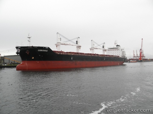
Vessel profile: AP LAPAD is a Bulk Carrier with dimensions m x m.
This page combines live AIS, route history, probable destination signals, nearby traffic, and port activity for practical vessel monitoring.
The current position of vessel AP LAPAD is -8.76183 lat / 13.23392 lng. Updated: 2026-05-19 01:45:56 UTCNearest reference points:
- Near Luanda
- Near Greater Plutonio
Currently sailing under the flag of Croatia ![]()
Details:
Live Vessel AP LAPAD Analytics (details, animations, etc.)
Recent AIS points (UTC):
2026-05-18 22:58:00 UTC · -8.76190, 13.23393 · SOG 0.1 kn · COG 226°2026-05-19 00:03:58 UTC · -8.76186, 13.23395 · SOG 0.1 kn · COG 226°
2026-05-19 01:18:58 UTC · -8.76178, 13.23389 · SOG 0.1 kn · COG 222°
2026-05-19 01:45:56 UTC · -8.76183, 13.23392 · SOG 0 kn · COG 226°