 vesseltracker.com
 PETROS S
Current Status
Where is the vessel?
PETROS S is currently in 34 nm E of Tomtbod, based on AIS data received about 15h ago.
Latest AIS update:
Current position: 57.14274° N, 19.58258° E (34 nm E of Tomtbod)
Average speed (last 7 days): Loading…
Average speed (last 30 days): Loading…
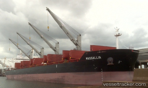
Vessel profile: PETROS S is a Bulk Carrier with dimensions m x m.
This page combines live AIS, route history, probable destination signals, nearby traffic, and port activity for practical vessel monitoring.
The current position of vessel PETROS S is 57.14274 lat / 19.58258 lng. Updated: 2026-05-18 05:33:34 UTCNearest reference points:
- 39 nm W of Pilies juru uosto PVP/Klaipeda
- Near Cimdenieki
- 37 nm W of Vikati Sadam
Currently sailing under the flag of Liberia ![]()
Details:
Live Vessel PETROS S Analytics (details, animations, etc.)
Recent AIS points (UTC):
2026-05-18 02:13:15 UTC · 56.49976, 19.00887 · SOG 12.8 kn · COG 28°2026-05-18 03:42:54 UTC · 56.78706, 19.26313 · SOG 12.8 kn · COG 26°
2026-05-18 04:49:13 UTC · 56.99894, 19.45500 · SOG 12.9 kn · COG 27°
2026-05-18 05:33:34 UTC · 57.14274, 19.58258 · SOG 12.8 kn · COG 26°