 JETTA
JETTA
Current Status
Where is the vessel?
JETTA is currently in Open sea, approx. 413 nm off the nearest listed port, based on AIS data received about 14h ago.
Latest AIS update:
Current position: 7.85333° N, 59.16500° E (Open sea, approx. 413 nm off the nearest listed port)
Average speed (last 7 days): Loading…
Average speed (last 30 days): Loading…
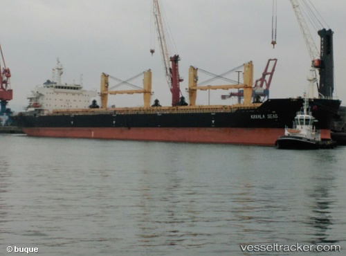
Vessel profile: JETTA is a Bulk Carrier with dimensions m x m.
This page combines live AIS, route history, probable destination signals, nearby traffic, and port activity for practical vessel monitoring.
The current position of vessel JETTA is 7.85333 lat / 59.16500 lng. Updated: 2026-05-21 07:36:10 UTCNearest reference points:
- Open sea, approx. 413 nm off the nearest listed port
- Open sea, approx. 408 nm off the nearest listed port
- Open sea, approx. 421 nm off the nearest listed port
Currently sailing under the flag of Panama ![]()
Details:
Live Vessel JETTA Analytics (details, animations, etc.)
Recent AIS points (UTC):
2026-05-21 04:12:07 UTC · 7.34333, 58.84167 · SOG 10 kn · COG -1°2026-05-21 05:54:07 UTC · 7.59667, 58.99667 · SOG 10 kn · COG -1°
2026-05-21 07:36:10 UTC · 7.85333, 59.16500 · SOG 11 kn · COG -1°
2026-05-21 07:36:10 UTC · 7.85333, 59.16500 · SOG 11 kn · COG -1°