 TRAVELING SAGE
Current Status
Where is the vessel?
TRAVELING SAGE is currently in Near Shinari Zakynthou, based on AIS data received about 14h ago.
Latest AIS update:
Current position: 37.99088° N, 20.86552° E (Near Shinari Zakynthou)
Average speed (last 7 days): Loading…
Average speed (last 30 days): Loading…
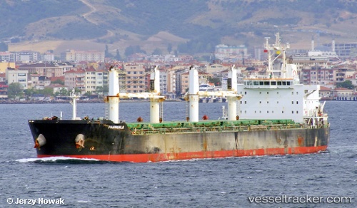
Vessel profile: TRAVELING SAGE is a Bulk Carrier with dimensions m x m.
This page combines live AIS, route history, probable destination signals, nearby traffic, and port activity for practical vessel monitoring.
The current position of vessel TRAVELING SAGE is 37.99088 lat / 20.86552 lng. Updated: 2026-05-21 13:53:26 UTCNearest reference points:
- Near MESSOLOGGI
- Near Meganísi
- Near Káto Achaïa
Currently sailing under the flag of Liberia ![]()
Details:
Live Vessel TRAVELING SAGE Analytics (details, animations, etc.)
Recent AIS points (UTC):
2026-05-21 10:49:55 UTC · 38.25190, 21.57241 · SOG 12.3 kn · COG 256°2026-05-21 11:25:25 UTC · 38.24914, 21.41654 · SOG 12.4 kn · COG 269°
2026-05-21 13:03:52 UTC · 38.08063, 21.05043 · SOG 12.3 kn · COG 235°
2026-05-21 13:53:26 UTC · 37.99088, 20.86552 · SOG 12.2 kn · COG 253°