 ESPERANCE
Current Status
Where is the vessel?
ESPERANCE is currently in Near Haarlemmermeer, based on AIS data received about 14h ago.
Latest AIS update:
Current position: 51.94948° N, 3.98882° E (Near Haarlemmermeer)
Average speed (last 7 days): Loading…
Average speed (last 30 days): Loading…
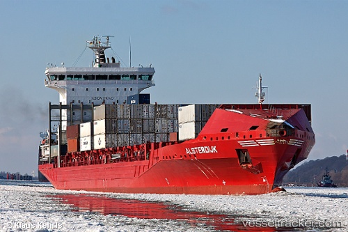
Vessel profile: ESPERANCE is a Container Ship with dimensions m x m.
This page combines live AIS, route history, probable destination signals, nearby traffic, and port activity for practical vessel monitoring.
The current position of vessel ESPERANCE is 51.94948 lat / 3.98882 lng. Updated: 2026-05-22 16:40:14 UTCNearest reference points:
- Near MAASVLAKTE - ROTTERDAM
- Near Haarlemmermeer
- Near Rockanje
Currently sailing under the flag of Portugal ![]()
Details:
Live Vessel ESPERANCE Analytics (details, animations, etc.)
Recent AIS points (UTC):
2026-05-22 13:07:51 UTC · 51.94942, 3.98877 · SOG 0 kn · COG 33°2026-05-22 13:28:25 UTC · 51.94946, 3.98877 · SOG 0 kn · COG -1°
2026-05-22 15:43:20 UTC · 51.94945, 3.98873 · SOG 0 kn · COG 33°
2026-05-22 16:40:14 UTC · 51.94948, 3.98882 · SOG 0 kn · COG 33°