 ELENI K
Current Status
Where is the vessel?
ELENI K is currently in 35 nm S of El Albujon, based on AIS data received about 15h ago.
Latest AIS update:
Current position: 37.17881° N, 1.28951° E (35 nm S of El Albujon)
Average speed (last 7 days): Loading…
Average speed (last 30 days): Loading…
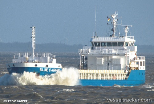
Vessel profile: ELENI K is a General Cargo with dimensions m x m.
This page combines live AIS, route history, probable destination signals, nearby traffic, and port activity for practical vessel monitoring.
The current position of vessel ELENI K is 37.17881 lat / 1.28951 lng. Updated: 2026-05-21 22:10:59 UTCNearest reference points:
- 17 nm S of Albanchez
- 50 nm N of Mostaganem
- Near FORMENTERA
Currently sailing under the flag of Marshall Islands ![]()
Details:
Live Vessel ELENI K Analytics (details, animations, etc.)
Recent AIS points (UTC):
2026-05-21 19:53:18 UTC · 37.25361, 1.62909 · SOG 7.3 kn · COG 253°2026-05-21 20:12:59 UTC · 37.24345, 1.58033 · SOG 7.5 kn · COG 254°
2026-05-21 21:54:59 UTC · 37.18724, 1.32889 · SOG 7.5 kn · COG 255°
2026-05-21 22:10:59 UTC · 37.17881, 1.28951 · SOG 7.2 kn · COG 254°