 vesseltracker.com
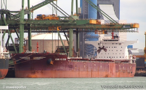
 LONG MEI
Current Status
Where is the vessel?
LONG MEI is currently in Near Okha, based on AIS data received about 15h ago.
Latest AIS update:
Current position: 22.62536° N, 69.10574° E (Near Okha)
Average speed (last 7 days): Loading…
Average speed (last 30 days): Loading…
Vessel profile: LONG MEI is a Bulk Carrier with dimensions m x m.
This page combines live AIS, route history, probable destination signals, nearby traffic, and port activity for practical vessel monitoring.
The current position of vessel LONG MEI is 22.62536 lat / 69.10574 lng. Updated: 2026-05-18 04:15:50 UTCNearest reference points:
- 13 nm W of Måndvi
- Near Khambhaliya
- Near SIKKA
Currently sailing under the flag of Marshall Islands ![]()
Details:
Live Vessel LONG MEI Analytics (details, animations, etc.)
Recent AIS points (UTC):
2026-05-18 01:28:11 UTC · 22.30545, 68.80462 · SOG 9 kn · COG 25°2026-05-18 01:58:11 UTC · 22.37412, 68.83926 · SOG 8.9 kn · COG 24°
2026-05-18 04:10:21 UTC · 22.62515, 69.08786 · SOG 11 kn · COG 94°
2026-05-18 04:15:50 UTC · 22.62536, 69.10574 · SOG 10.4 kn · COG 85°