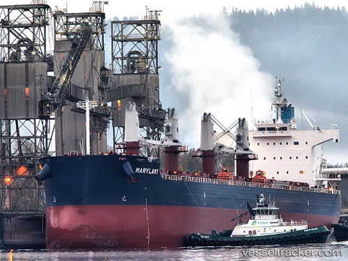
 Marylaki
Current Status
Where is the vessel?
Marylaki is currently in 61 nm S of Boboras, based on AIS data received about 14h ago.
Latest AIS update:
Current position: 45.46500° N, 8.55166° W (61 nm S of Boboras)
Average speed (last 7 days): Loading…
Average speed (last 30 days): Loading…
Vessel profile: Marylaki is a Bulk Carrier with dimensions 190m x 190m.
This page combines live AIS, route history, probable destination signals, nearby traffic, and port activity for practical vessel monitoring.
The current position of vessel Marylaki is 45.46500 lat / -8.55166 lng. Updated: 2026-05-18 21:16:55 UTCNearest reference points:
- 57 nm S of Boboras
- 22 nm N of Carino
- 30 nm NW of Meiras-Valdoviño
Currently sailing under the flag of Marshall Is ![]()
Marylaki built in 2010 year
Deadweight:
58114 tDetails:
Live Vessel Marylaki Analytics (details, animations, etc.)
Recent AIS points (UTC):
2026-05-18 17:52:55 UTC · 45.85833, -8.24167 · SOG 9 kn · COG -1°2026-05-18 19:35:20 UTC · 45.63610, -8.41132 · SOG 7.9 kn · COG -1°
2026-05-18 19:58:56 UTC · 45.59500, -8.44333 · SOG 6 kn · COG -1°
2026-05-18 21:16:55 UTC · 45.46500, -8.55166 · SOG 7 kn · COG -1°