 GREY WHALE
Current Status
Where is the vessel?
GREY WHALE is currently in 17 nm SW of Kefalos Ko, based on AIS data received about 14h ago.
Latest AIS update:
Current position: 36.50173° N, 26.74706° E (17 nm SW of Kefalos Ko)
Average speed (last 7 days): Loading…
Average speed (last 30 days): Loading…
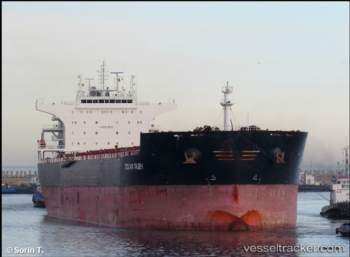
Vessel profile: GREY WHALE is a Bulk Carrier with dimensions m x m.
This page combines live AIS, route history, probable destination signals, nearby traffic, and port activity for practical vessel monitoring.
The current position of vessel GREY WHALE is 36.50173 lat / 26.74706 lng. Updated: 2026-05-19 03:49:32 UTCNearest reference points:
- 20 nm S of Astypálaia
- Near KALYMNOS
- 11 nm E of GYALI
Currently sailing under the flag of Barbados ![]()
Details:
Live Vessel GREY WHALE Analytics (details, animations, etc.)
Recent AIS points (UTC):
2026-05-18 23:34:22 UTC · 37.19611, 26.29940 · SOG 11.5 kn · COG 117°2026-05-19 01:28:02 UTC · 36.97057, 26.62008 · SOG 11.9 kn · COG 171°
2026-05-19 01:37:31 UTC · 36.93953, 26.62687 · SOG 11.9 kn · COG 166°
2026-05-19 03:49:32 UTC · 36.50173, 26.74706 · SOG 11.9 kn · COG 152°