 VINCA
VINCA
Current Status
Where is the vessel?
VINCA is currently in Near Bur Ibrahim, based on AIS data received about 15h ago.
Latest AIS update:
Current position: 29.85527° N, 32.57104° E (Near Bur Ibrahim)
Average speed (last 7 days): Loading…
Average speed (last 30 days): Loading…
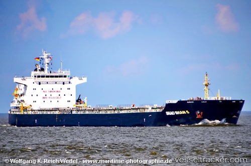
Vessel profile: VINCA is a Bulk Carrier with dimensions m x m.
This page combines live AIS, route history, probable destination signals, nearby traffic, and port activity for practical vessel monitoring.
The current position of vessel VINCA is 29.85527 lat / 32.57104 lng. Updated: 2026-05-20 22:15:06 UTCNearest reference points:
- Near SUEZ PORT
- Near Bur Ibrahim
- Near As Suways (Suez)
Currently sailing under the flag of Marshall Islands ![]()
Details:
Live Vessel VINCA Analytics (details, animations, etc.)
Recent AIS points (UTC):
2026-05-20 18:00:04 UTC · 29.85495, 32.57046 · SOG 0 kn · COG 333°2026-05-20 19:30:05 UTC · 29.85535, 32.57129 · SOG 0 kn · COG 315°
2026-05-20 21:51:05 UTC · 29.85534, 32.57115 · SOG 0 kn · COG 319°
2026-05-20 22:15:06 UTC · 29.85527, 32.57104 · SOG 0.1 kn · COG 319°