 St George
Current Status
Where is the vessel?
St George is currently in 30 nm N of Santa Marta, based on AIS data received about 17h ago.
Latest AIS update:
Current position: 11.74914° N, 74.14907° W (30 nm N of Santa Marta)
Average speed (last 7 days): Loading…
Average speed (last 30 days): Loading…
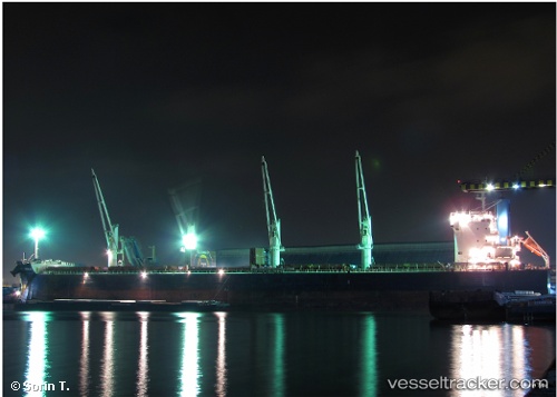
Vessel profile: St George is a Bulk Carrier with dimensions 190m x 32m.
This page combines live AIS, route history, probable destination signals, nearby traffic, and port activity for practical vessel monitoring.
The current position of vessel St George is 11.74914 lat / -74.14907 lng. Updated: 2026-05-21 22:04:23 UTCNearest reference points:
- 18 nm N of Santa Marta
- Near Santa Marta
- Near Contecar
Currently sailing under the flag of Marshall Is ![]()
St George built in 2012 year
Deadweight:
57959 tDetails:
Live Vessel St George Analytics (details, animations, etc.)
Recent AIS points (UTC):
2026-05-21 19:21:02 UTC · 11.95667, -73.73667 · SOG 10 kn · COG -1°2026-05-21 19:30:05 UTC · 11.94333, -73.75833 · SOG 9 kn · COG -1°
2026-05-21 21:38:05 UTC · 11.78139, -74.08040 · SOG 10 kn · COG 242°
2026-05-21 22:04:23 UTC · 11.74914, -74.14907 · SOG 10.1 kn · COG 243°