 CAPE PEREGRINE
Current Status
Where is the vessel?
CAPE PEREGRINE is currently in 30 nm SW of Moorreesburg, based on AIS data received about 13d ago.
Latest AIS update:
Current position: 34.93978° S, 18.37621° E (30 nm SW of Moorreesburg)
Average speed (last 7 days): Loading…
Average speed (last 30 days): Loading…
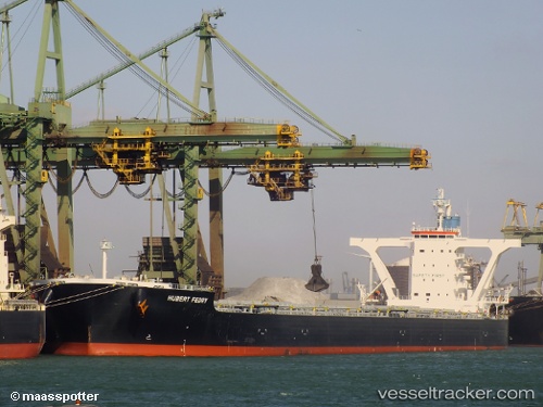
Vessel profile: CAPE PEREGRINE is a Bulk Carrier with dimensions 45m x 292m.
This page combines live AIS, route history, probable destination signals, nearby traffic, and port activity for practical vessel monitoring.
The current position of vessel CAPE PEREGRINE is -34.93978 lat / 18.37621 lng. Updated: 2026-05-07 08:00:56 UTCNearest reference points:
- 18 nm SW of Cape Of Good Hope
- 15 nm SE of Moorreesburg
- Near Mitchells Plain
Currently sailing under the flag of Liberia ![]()
CAPE PEREGRINE built in 2012 year
Deadweight:
180643 tDetails:
Live Vessel CAPE PEREGRINE Analytics (details, animations, etc.)
Recent AIS points (UTC):
2026-05-07 07:46:27 UTC · -34.94375, 18.34287 · SOG 7.1 kn · COG 96°2026-05-07 08:00:56 UTC · -34.93978, 18.37621 · SOG 6.5 kn · COG 103°
2026-05-07 08:00:56 UTC · -34.93978, 18.37621 · SOG 6.5 kn · COG 103°
2026-05-07 08:00:56 UTC · -34.93978, 18.37621 · SOG 6.5 kn · COG 103°