 GRUAUD LAROSE
Current Status
Where is the vessel?
GRUAUD LAROSE is currently in 21 nm SW of Exspan, based on AIS data received about 15h ago.
Latest AIS update:
Current position: 2.11377° S, 104.97062° E (21 nm SW of Exspan)
Average speed (last 7 days): Loading…
Average speed (last 30 days): Loading…
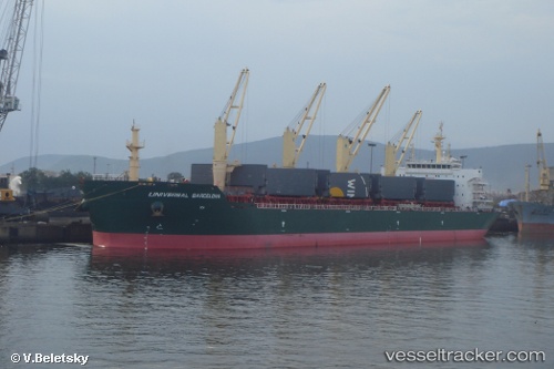
Vessel profile: GRUAUD LAROSE is a Bulk Carrier with dimensions m x m.
This page combines live AIS, route history, probable destination signals, nearby traffic, and port activity for practical vessel monitoring.
The current position of vessel GRUAUD LAROSE is -2.11377 lat / 104.97062 lng. Updated: 2026-05-21 23:09:03 UTCNearest reference points:
- 36 nm SW of Exspan
- 38 nm SW of PANGKAL BALAM
- Near Kertapati
Currently sailing under the flag of Indonesia ![]()
Details:
Live Vessel GRUAUD LAROSE Analytics (details, animations, etc.)
Recent AIS points (UTC):
2026-05-21 19:23:38 UTC · -2.11409, 104.97129 · SOG 0 kn · COG 208°2026-05-21 19:26:34 UTC · -2.11410, 104.97125 · SOG 0 kn · COG 206°
2026-05-21 21:48:04 UTC · -2.11394, 104.97122 · SOG 0 kn · COG 203°
2026-05-21 23:09:03 UTC · -2.11377, 104.97062 · SOG 0 kn · COG 183°