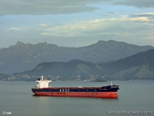
 RIO DULCE
Current Status
Where is the vessel?
RIO DULCE is currently in Near GUISHAN, based on AIS data received about 14h ago.
Latest AIS update:
Current position: 22.22033° N, 113.80771° E (Near GUISHAN)
Average speed (last 7 days): Loading…
Average speed (last 30 days): Loading…
Vessel profile: RIO DULCE is a Bulk Carrier with dimensions m x m.
This page combines live AIS, route history, probable destination signals, nearby traffic, and port activity for practical vessel monitoring.
The current position of vessel RIO DULCE is 22.22033 lat / 113.80771 lng. Updated: 2026-05-21 08:05:37 UTCNearest reference points:
- Near GUISHAN
- Near Mawan Pt
- Near Tai Lang Shui
Currently sailing under the flag of Marshall Islands ![]()
Details:
Live Vessel RIO DULCE Analytics (details, animations, etc.)
Recent AIS points (UTC):
2026-05-21 04:14:38 UTC · 22.22659, 113.80575 · SOG 0 kn · COG 172°2026-05-21 05:38:40 UTC · 22.22640, 113.80674 · SOG 0.1 kn · COG 184°
2026-05-21 08:02:38 UTC · 22.22029, 113.80776 · SOG 0 kn · COG 343°
2026-05-21 08:05:37 UTC · 22.22033, 113.80771 · SOG 0 kn · COG 342°