 Anna
Anna
Current Status
Where is the vessel?
Anna is currently in 397 nm SW of Lukovica pri Domzalah, based on AIS data received about 14h ago.
Latest AIS update:
Current position: 40.18597° N, 148.22717° W (397 nm SW of Lukovica pri Domzalah)
Average speed (last 7 days): Loading…
Average speed (last 30 days): Loading…
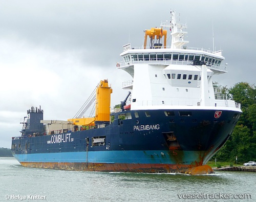
Vessel profile: Anna is a Multi Purpose Carrier with dimensions 133m x 133m.
This page combines live AIS, route history, probable destination signals, nearby traffic, and port activity for practical vessel monitoring.
The current position of vessel Anna is 40.18597 lat / -148.22717 lng. Updated: 2026-05-20 09:54:46 UTCNearest reference points:
- Open sea, approx. 409 nm off the nearest listed port
- Open sea, approx. 410 nm off the nearest listed port
- Open sea, approx. 417 nm off the nearest listed port
Currently sailing under the flag of Antigua Barbuda ![]()
Anna built in 2010 year
Deadweight:
10040 tDetails:
Live Vessel Anna Analytics (details, animations, etc.)
Recent AIS points (UTC):
2026-05-20 07:43:57 UTC · 40.03204, -148.93132 · SOG 15.5 kn · COG 75°2026-05-20 07:44:55 UTC · 40.03312, -148.92645 · SOG 15.5 kn · COG 75°
2026-05-20 09:25:15 UTC · 40.15049, -148.38690 · SOG 15.4 kn · COG 75°
2026-05-20 09:54:46 UTC · 40.18597, -148.22717 · SOG 15.8 kn · COG 75°