 HOANG ANH 03
Current Status
Where is the vessel?
HOANG ANH 03 is currently in 75 nm NE of Tan Cang Qui Nhon, based on AIS data received about 15h ago.
Latest AIS update:
Current position: 14.88333° N, 110.39333° E (75 nm NE of Tan Cang Qui Nhon)
Average speed (last 7 days): Loading…
Average speed (last 30 days): Loading…
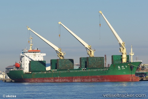
Vessel profile: HOANG ANH 03 is a Bulk Carrier with dimensions m x m.
This page combines live AIS, route history, probable destination signals, nearby traffic, and port activity for practical vessel monitoring.
The current position of vessel HOANG ANH 03 is 14.88333 lat / 110.39333 lng. Updated: 2026-05-20 02:00:15 UTCNearest reference points:
- 17 nm NE of Bong Son
- Near Bong Son
- Near DUNG QUAT
Currently sailing under the flag of Panama ![]()
Details:
Live Vessel HOANG ANH 03 Analytics (details, animations, etc.)
Recent AIS points (UTC):
2026-05-19 23:06:15 UTC · 14.57167, 110.58333 · SOG 7 kn · COG -1°2026-05-20 00:03:14 UTC · 14.67333, 110.52333 · SOG 7 kn · COG -1°
2026-05-20 02:00:15 UTC · 14.88333, 110.39333 · SOG 7 kn · COG -1°
2026-05-20 02:00:15 UTC · 14.88333, 110.39333 · SOG 7 kn · COG -1°