 vesseltracker.com
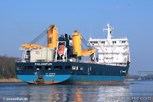
Amoenitas
Current StatusWhere is the vessel?
Amoenitas is currently in 59 nm S of Limetree Bay, based on AIS data received about 14h ago.
Latest AIS update:
Current position: 16.70603° N, 64.83781° W (59 nm S of Limetree Bay)
Average speed (last 7 days): Loading…
Average speed (last 30 days): Loading…
Vessel profile: Amoenitas is a Heavy Load Carrier with dimensions 23m x 134m.
This page combines live AIS, route history, probable destination signals, nearby traffic, and port activity for practical vessel monitoring.
The current position of vessel Amoenitas is 16.70603 lat / -64.83781 lng. Updated: 2026-05-17 19:03:18 UTCNearest reference points:
- 10 nm SE of Limetree Bay
- Near ST CROIX
- Near Frederiksted
Details:
Live Vessel Amoenitas Analytics (details, animations, etc.)
Recent AIS points (UTC):
2026-05-17 16:14:18 UTC · 16.77531, -65.52389 · SOG 14.7 kn · COG 96°2026-05-17 16:23:16 UTC · 16.77086, -65.48607 · SOG 14.7 kn · COG 97°
2026-05-17 16:58:06 UTC · 16.75501, -65.34102 · SOG 14.4 kn · COG 96°
2026-05-17 19:03:18 UTC · 16.70603, -64.83781 · SOG 13.8 kn · COG 95°