 vesseltracker.com
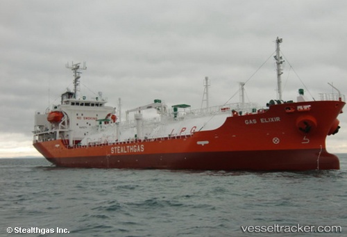
 GAS VALERIA
Current Status
Where is the vessel?
GAS VALERIA is currently in Near Tagoloan, based on AIS data received about 16h ago.
Latest AIS update:
Current position: 8.51450° N, 124.75135° E (Near Tagoloan)
Average speed (last 7 days): Loading…
Average speed (last 30 days): Loading…
Vessel profile: GAS VALERIA is a Tanker D with dimensions m x m.
This page combines live AIS, route history, probable destination signals, nearby traffic, and port activity for practical vessel monitoring.
The current position of vessel GAS VALERIA is 8.51450 lat / 124.75135 lng. Updated: 2026-05-18 07:12:34 UTCNearest reference points:
- Near Taganito
- Near DICT / SVT
- 17 nm SW of Bacong
Currently sailing under the flag of Panama ![]()
Details:
Live Vessel GAS VALERIA Analytics (details, animations, etc.)
Recent AIS points (UTC):
2026-05-18 04:06:50 UTC · 8.51333, 124.74833 · SOG 0 kn · COG -1°2026-05-18 05:21:37 UTC · 8.51451, 124.75134 · SOG 0 kn · COG 171°
2026-05-18 07:12:34 UTC · 8.51450, 124.75135 · SOG 0 kn · COG 171°
2026-05-18 07:12:34 UTC · 8.51450, 124.75135 · SOG 0 kn · COG 171°