 CLIPPER KENT
Current Status
Where is the vessel?
CLIPPER KENT is currently in 113 nm SW of Los Ramos, based on AIS data received about 14h ago.
Latest AIS update:
Current position: 36.81659° N, 12.21797° W (113 nm SW of Los Ramos)
Average speed (last 7 days): Loading…
Average speed (last 30 days): Loading…
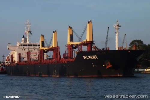
Vessel profile: CLIPPER KENT is a Bulk Carrier with dimensions 181m x 30m.
This page combines live AIS, route history, probable destination signals, nearby traffic, and port activity for practical vessel monitoring.
The current position of vessel CLIPPER KENT is 36.81659 lat / -12.21797 lng. Updated: 2026-05-18 17:56:15 UTCNearest reference points:
- 118 nm NE of Nedroma
- 116 nm NE of Nedroma
- 115 nm E of Nedroma
Currently sailing under the flag of Marshall Islands ![]()
CLIPPER KENT built in 2012 year
Deadweight:
34003 tDetails:
Live Vessel CLIPPER KENT Analytics (details, animations, etc.)
Recent AIS points (UTC):
2026-05-18 13:59:44 UTC · 37.46323, -11.99265 · SOG 10.2 kn · COG 197°2026-05-18 16:21:54 UTC · 37.07538, -12.13601 · SOG 10.2 kn · COG 197°
2026-05-18 16:23:30 UTC · 37.07148, -12.13738 · SOG 10.2 kn · COG 197°
2026-05-18 17:56:15 UTC · 36.81659, -12.21797 · SOG 10.2 kn · COG 195°