 CAPE SEAGULL
Current Status
Where is the vessel?
CAPE SEAGULL is currently in 247 nm N of Palau, based on AIS data received about 15h ago.
Latest AIS update:
Current position: 13.61167° N, 137.36333° E (247 nm N of Palau)
Average speed (last 7 days): Loading…
Average speed (last 30 days): Loading…
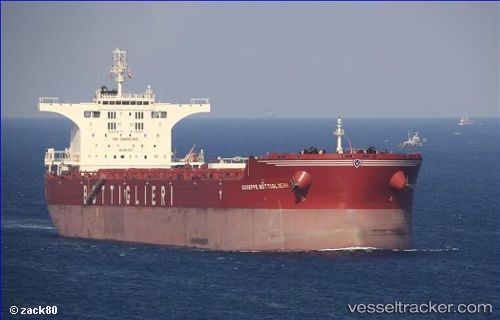
Vessel profile: CAPE SEAGULL is a Bulk Carrier with dimensions 295m x 295m.
This page combines live AIS, route history, probable destination signals, nearby traffic, and port activity for practical vessel monitoring.
The current position of vessel CAPE SEAGULL is 13.61167 lat / 137.36333 lng. Updated: 2026-05-19 14:13:58 UTCNearest reference points:
- 207 nm N of Palau
- 150 nm N of Palau
- Open sea, approx. 401 nm off the nearest listed port
Currently sailing under the flag of United Kingdom ![]()
CAPE SEAGULL built in 2011 year
Deadweight:
175243 tDetails:
Live Vessel CAPE SEAGULL Analytics (details, animations, etc.)
Recent AIS points (UTC):
2026-05-19 11:16:59 UTC · 13.12000, 137.63167 · SOG 11 kn · COG -1°2026-05-19 11:25:58 UTC · 13.14500, 137.61833 · SOG 11 kn · COG -1°
2026-05-19 13:02:04 UTC · 13.40709, 137.47057 · SOG 11.2 kn · COG 333°
2026-05-19 14:13:58 UTC · 13.61167, 137.36333 · SOG 11 kn · COG -1°