 SKY BLUE
Current Status
Where is the vessel?
SKY BLUE is currently in 272 nm E of Tan Cang Qui Nhon, based on AIS data received about 14h ago.
Latest AIS update:
Current position: 14.57728° N, 114.42227° E (272 nm E of Tan Cang Qui Nhon)
Average speed (last 7 days): Loading…
Average speed (last 30 days): Loading…
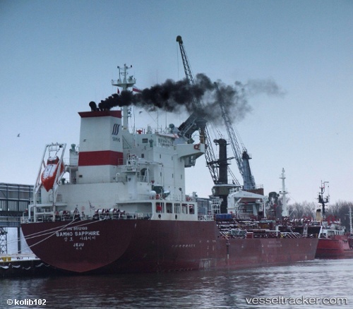
Vessel profile: SKY BLUE is a Oil/Chemical Tanker with dimensions m x m.
This page combines live AIS, route history, probable destination signals, nearby traffic, and port activity for practical vessel monitoring.
The current position of vessel SKY BLUE is 14.57728 lat / 114.42227 lng. Updated: 2026-05-21 11:58:33 UTCNearest reference points:
- 282 nm E of Tan Cang Qui Nhon
- 232 nm E of Tan Cang Qui Nhon
- 222 nm E of Tan Cang Qui Nhon
Currently sailing under the flag of Marshall Islands ![]()
Details:
Live Vessel SKY BLUE Analytics (details, animations, etc.)
Recent AIS points (UTC):
2026-05-21 08:01:18 UTC · 14.19867, 114.13118 · SOG 7.2 kn · COG -1°2026-05-21 09:23:06 UTC · 14.32717, 114.23243 · SOG 6.9 kn · COG -1°
2026-05-21 09:28:07 UTC · 14.33487, 114.23865 · SOG 7 kn · COG -1°
2026-05-21 11:58:33 UTC · 14.57728, 114.42227 · SOG 7.4 kn · COG -1°