 vesseltracker.com
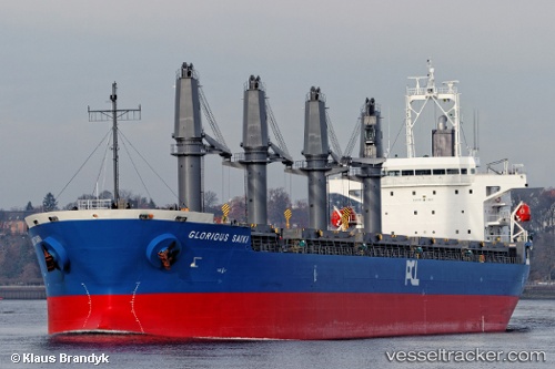
 SUNNY SANDRA
Current Status
Where is the vessel?
SUNNY SANDRA is currently in Near Xianlang, based on AIS data received about 14h ago.
Latest AIS update:
Current position: 35.99502° N, 120.19349° E (Near Xianlang)
Average speed (last 7 days): Loading…
Average speed (last 30 days): Loading…
Vessel profile: SUNNY SANDRA is a Bulk Carrier with dimensions m x m.
This page combines live AIS, route history, probable destination signals, nearby traffic, and port activity for practical vessel monitoring.
The current position of vessel SUNNY SANDRA is 35.99502 lat / 120.19349 lng. Updated: 2026-05-18 11:44:25 UTCNearest reference points:
- Near Xianlang
- Near Qingdao
- 12 nm S of Xianlang
Currently sailing under the flag of Liberia ![]()
Details:
Live Vessel SUNNY SANDRA Analytics (details, animations, etc.)
Recent AIS points (UTC):
2026-05-18 07:45:42 UTC · 35.99511, 120.19356 · SOG 0 kn · COG 312°2026-05-18 09:51:42 UTC · 35.99501, 120.19351 · SOG 0 kn · COG 312°
2026-05-18 10:51:42 UTC · 35.99513, 120.19348 · SOG 0.1 kn · COG 312°
2026-05-18 11:44:25 UTC · 35.99502, 120.19349 · SOG 0 kn · COG -1°