 SW NORTH WIND I
Current Status
Where is the vessel?
SW NORTH WIND I is currently in 56 nm E of ABURATSU, based on AIS data received about 16h ago.
Latest AIS update:
Current position: 31.56615° N, 132.49727° E (56 nm E of ABURATSU)
Average speed (last 7 days): Loading…
Average speed (last 30 days): Loading…
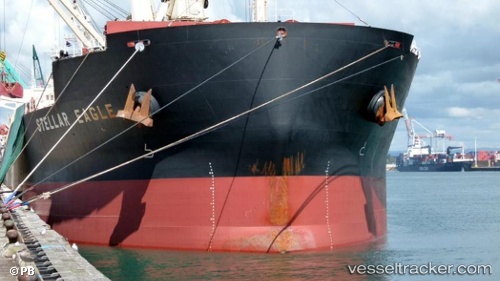
Vessel profile: SW NORTH WIND I is a Bulk Carrier with dimensions m x m.
This page combines live AIS, route history, probable destination signals, nearby traffic, and port activity for practical vessel monitoring.
The current position of vessel SW NORTH WIND I is 31.56615 lat / 132.49727 lng. Updated: 2026-05-21 05:59:53 UTCNearest reference points:
- 77 nm S of Sukumowan
- Near MIYAZAKI
- 19 nm SW of Sukumowan
Currently sailing under the flag of Panama ![]()
Details:
Live Vessel SW NORTH WIND I Analytics (details, animations, etc.)
Recent AIS points (UTC):
2026-05-21 02:57:12 UTC · 31.84335, 132.70003 · SOG 6.6 kn · COG 210°2026-05-21 02:57:12 UTC · 31.84335, 132.70003 · SOG 6.6 kn · COG 210°
2026-05-21 05:59:53 UTC · 31.56615, 132.49727 · SOG 6.4 kn · COG 203°
2026-05-21 05:59:53 UTC · 31.56615, 132.49727 · SOG 6.4 kn · COG 203°