 Shining Road
Current Status
Where is the vessel?
Shining Road is currently in Near Taixing, based on AIS data received about 15h ago.
Latest AIS update:
Current position: 32.11925° N, 119.92056° E (Near Taixing)
Average speed (last 7 days): Loading…
Average speed (last 30 days): Loading…
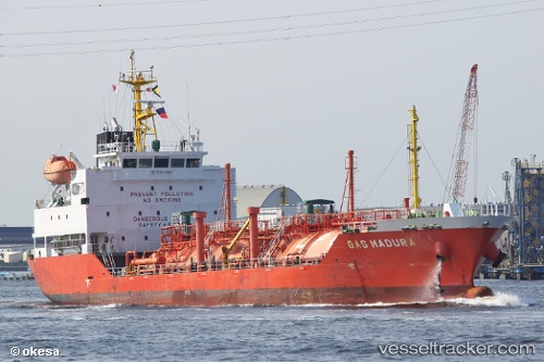
Vessel profile: Shining Road is a Lpg Tanker with dimensions 97m x 17m.
This page combines live AIS, route history, probable destination signals, nearby traffic, and port activity for practical vessel monitoring.
The current position of vessel Shining Road is 32.11925 lat / 119.92056 lng. Updated: 2026-05-22 15:36:02 UTCNearest reference points:
- Near Taixing
- Near Yangzhong
- Near GAOGANG
Currently sailing under the flag of Korea ![]()
Details:
Live Vessel Shining Road Analytics (details, animations, etc.)
Recent AIS points (UTC):
2026-05-22 12:42:09 UTC · 32.11927, 119.92060 · SOG 0 kn · COG 345°2026-05-22 13:51:06 UTC · 32.11923, 119.92056 · SOG 0 kn · COG 345°
2026-05-22 15:36:02 UTC · 32.11925, 119.92056 · SOG 0 kn · COG 345°
2026-05-22 15:36:02 UTC · 32.11925, 119.92056 · SOG 0 kn · COG 345°