 ILITHA
Current Status
Where is the vessel?
ILITHA is currently in Near Deal Party, based on AIS data received about 14h ago.
Latest AIS update:
Current position: 33.87893° S, 25.68602° E (Near Deal Party)
Average speed (last 7 days): Loading…
Average speed (last 30 days): Loading…
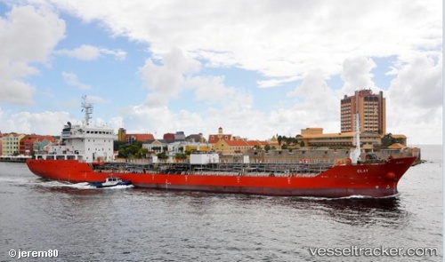
Vessel profile: ILITHA is a Tanker with dimensions m x m.
This page combines live AIS, route history, probable destination signals, nearby traffic, and port activity for practical vessel monitoring.
The current position of vessel ILITHA is -33.87893 lat / 25.68602 lng. Updated: 2026-05-20 10:15:47 UTCNearest reference points:
- Near Deal Party
- 21 nm S of Mount Pleasant
Currently sailing under the flag of South Africa ![]()
Details:
Live Vessel ILITHA Analytics (details, animations, etc.)
Recent AIS points (UTC):
2026-05-20 07:37:21 UTC · -33.87903, 25.68592 · SOG 0.7 kn · COG 92°2026-05-20 08:14:32 UTC · -33.87892, 25.68594 · SOG 0.2 kn · COG 103°
2026-05-20 10:12:58 UTC · -33.87882, 25.68601 · SOG 0.6 kn · COG 108°
2026-05-20 10:15:47 UTC · -33.87893, 25.68602 · SOG 0.3 kn · COG 104°