 SHION
SHION
Current Status
Where is the vessel?
SHION is currently in Near HUIZHOU, based on AIS data received about 14h ago.
Latest AIS update:
Current position: 22.73970° N, 114.62320° E (Near HUIZHOU)
Average speed (last 7 days): Loading…
Average speed (last 30 days): Loading…
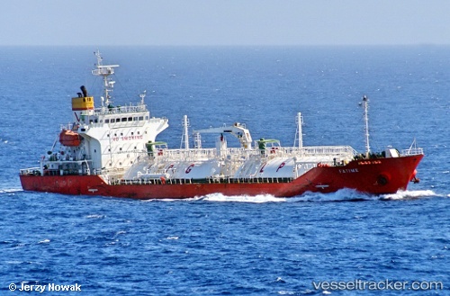
Vessel profile: SHION is a Lpg Tanker with dimensions m x m.
This page combines live AIS, route history, probable destination signals, nearby traffic, and port activity for practical vessel monitoring.
The current position of vessel SHION is 22.73970 lat / 114.62320 lng. Updated: 2026-05-22 02:25:00 UTCNearest reference points:
- Near HUIZHOU
- Near Dayawan
- Near Pinghai
Currently sailing under the flag of Marshall Islands ![]()
Details:
Live Vessel SHION Analytics (details, animations, etc.)
Recent AIS points (UTC):
2026-05-21 21:45:06 UTC · 22.73968, 114.62322 · SOG 0 kn · COG 337°2026-05-21 22:54:58 UTC · 22.73972, 114.62322 · SOG 0 kn · COG 337°
2026-05-22 01:13:00 UTC · 22.73968, 114.62323 · SOG 0.1 kn · COG 337°
2026-05-22 02:25:00 UTC · 22.73970, 114.62320 · SOG 0 kn · COG 337°