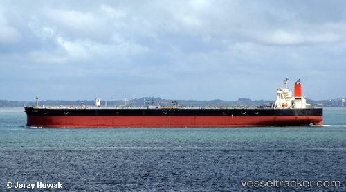
 LILA KOCHI
Current Status
Where is the vessel?
LILA KOCHI is currently in Near TANAH MERAH, based on AIS data received about 14h ago.
Latest AIS update:
Current position: 1.30167° N, 104.06667° E (Near TANAH MERAH)
Average speed (last 7 days): Loading…
Average speed (last 30 days): Loading…
Vessel profile: LILA KOCHI is a Tanker with dimensions m x m.
This page combines live AIS, route history, probable destination signals, nearby traffic, and port activity for practical vessel monitoring.
The current position of vessel LILA KOCHI is 1.30167 lat / 104.06667 lng. Updated: 2026-05-20 13:09:57 UTCNearest reference points:
- Near TANAH MERAH
- Near Tanjung Setapa
- Near Changi
Currently sailing under the flag of Liberia ![]()
Details:
Live Vessel LILA KOCHI Analytics (details, animations, etc.)
Recent AIS points (UTC):
2026-05-20 09:47:14 UTC · 1.30242, 104.06826 · SOG 0 kn · COG 74°2026-05-20 10:44:12 UTC · 1.30228, 104.06824 · SOG 0 kn · COG 72°
2026-05-20 12:11:17 UTC · 1.30262, 104.06813 · SOG 0 kn · COG 77°
2026-05-20 13:09:57 UTC · 1.30167, 104.06667 · SOG 0 kn · COG -1°