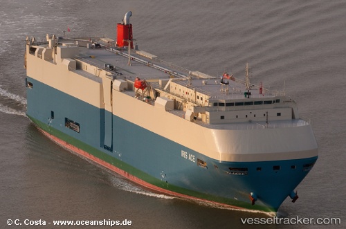
 IRIS ACE
Current Status
Where is the vessel?
IRIS ACE is currently in 31 nm W of MAOLO LAILAI, based on AIS data received about 15h ago.
Latest AIS update:
Current position: 17.83167° S, 176.65500° E (31 nm W of MAOLO LAILAI)
Average speed (last 7 days): Loading…
Average speed (last 30 days): Loading…
Vessel profile: IRIS ACE is a Vehicles Carrier with dimensions m x m.
This page combines live AIS, route history, probable destination signals, nearby traffic, and port activity for practical vessel monitoring.
The current position of vessel IRIS ACE is -17.83167 lat / 176.65500 lng. Updated: 2026-05-19 04:47:19 UTCNearest reference points:
- Near DENARAU
- Near Denarau
- Near Suva
Currently sailing under the flag of Panama ![]()
Details:
Live Vessel IRIS ACE Analytics (details, animations, etc.)
Recent AIS points (UTC):
2026-05-19 01:00:35 UTC · -17.21672, 176.11588 · SOG 13.7 kn · COG 142°2026-05-19 02:05:18 UTC · -17.41333, 176.26334 · SOG 12 kn · COG -1°
2026-05-19 03:29:01 UTC · -17.66037, 176.43759 · SOG 12.5 kn · COG 147°
2026-05-19 04:47:19 UTC · -17.83167, 176.65500 · SOG 12 kn · COG -1°