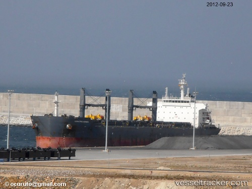
 AGIOS NEKTARIOS I
Current Status
Where is the vessel?
AGIOS NEKTARIOS I is currently in 70 nm NE of Nordeste, based on AIS data received about 14h ago.
Latest AIS update:
Current position: 38.34499° N, 23.82608° W (70 nm NE of Nordeste)
Average speed (last 7 days): Loading…
Average speed (last 30 days): Loading…
Vessel profile: AGIOS NEKTARIOS I is a Bulk Carrier with dimensions m x m.
This page combines live AIS, route history, probable destination signals, nearby traffic, and port activity for practical vessel monitoring.
The current position of vessel AGIOS NEKTARIOS I is 38.34499 lat / -23.82608 lng. Updated: 2026-05-20 23:51:55 UTCNearest reference points:
- 68 nm NE of Campohermoso
- 52 nm S of Campohermoso
- 48 nm S of Villa Do Porto
Currently sailing under the flag of Marshall Islands ![]()
Details:
Live Vessel AGIOS NEKTARIOS I Analytics (details, animations, etc.)
Recent AIS points (UTC):
2026-05-20 19:29:54 UTC · 38.42767, -24.87683 · SOG 11 kn · COG 97°2026-05-20 21:28:01 UTC · 38.38633, -24.40667 · SOG 11.5 kn · COG 95°
2026-05-20 22:35:21 UTC · 38.36617, -24.13583 · SOG 11.3 kn · COG 96°
2026-05-20 23:51:55 UTC · 38.34499, -23.82608 · SOG 11.5 kn · COG 95°