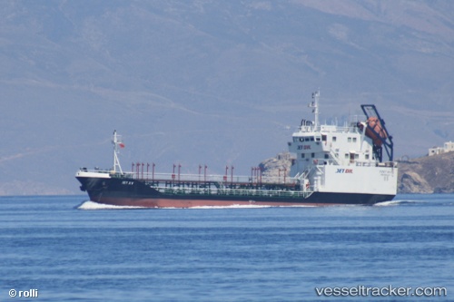
 JET X
JET X
Current Status
Where is the vessel?
JET X is currently in Near Davutpasa, based on AIS data received about 15h ago.
Latest AIS update:
Current position: 40.99087° N, 28.94875° E (Near Davutpasa)
Average speed (last 7 days): Loading…
Average speed (last 30 days): Loading…
Vessel profile: JET X is a Oil Products Tanker with dimensions m x m.
This page combines live AIS, route history, probable destination signals, nearby traffic, and port activity for practical vessel monitoring.
The current position of vessel JET X is 40.99087 lat / 28.94875 lng. Updated: 2026-05-22 04:14:55 UTCNearest reference points:
- Near Davutpasa
- Near Mardas
- Near Hasköy
Currently sailing under the flag of Turkey ![]()
Details:
Live Vessel JET X Analytics (details, animations, etc.)
Recent AIS points (UTC):
2026-05-22 01:11:16 UTC · 40.99074, 28.94953 · SOG 0 kn · COG -1°2026-05-22 02:05:36 UTC · 40.99075, 28.94874 · SOG 0 kn · COG -1°
2026-05-22 03:28:55 UTC · 40.99075, 28.94865 · SOG 0 kn · COG -1°
2026-05-22 04:14:55 UTC · 40.99087, 28.94875 · SOG 0 kn · COG -1°