 EASTERN HARMONY
Current Status
Where is the vessel?
EASTERN HARMONY is currently in 65 nm W of BAUBAU, based on AIS data received about 14h ago.
Latest AIS update:
Current position: 5.34167° S, 121.51500° E (65 nm W of BAUBAU)
Average speed (last 7 days): Loading…
Average speed (last 30 days): Loading…
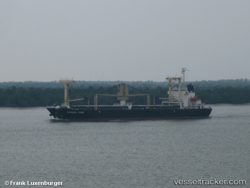
Vessel profile: EASTERN HARMONY is a General Cargo Ship with dimensions 20m x 119m.
This page combines live AIS, route history, probable destination signals, nearby traffic, and port activity for practical vessel monitoring.
The current position of vessel EASTERN HARMONY is -5.34167 lat / 121.51500 lng. Updated: 2026-05-22 08:16:49 UTCNearest reference points:
- 27 nm SW of Kolaka
- 83 nm SE of Panakukang
- 13 nm S of KOLAKA
Currently sailing under the flag of Liberia ![]()
EASTERN HARMONY built in 2009 year
Deadweight:
12000 tDetails:
Live Vessel EASTERN HARMONY Analytics (details, animations, etc.)
Recent AIS points (UTC):
2026-05-22 04:37:51 UTC · -5.70833, 121.99333 · SOG 10 kn · COG -1°2026-05-22 05:58:50 UTC · -5.61333, 121.79167 · SOG 9 kn · COG -1°
2026-05-22 07:13:51 UTC · -5.48667, 121.61667 · SOG 10 kn · COG -1°
2026-05-22 08:16:49 UTC · -5.34167, 121.51500 · SOG 10 kn · COG -1°