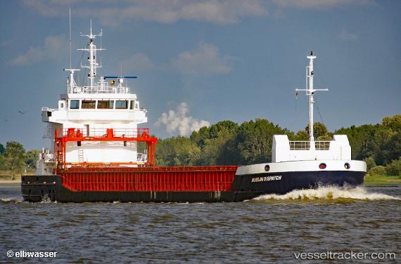
 MIA MARIA
Current Status
Where is the vessel?
MIA MARIA is currently in 12 nm W of Old Dornie, based on AIS data received about 17h ago.
Latest AIS update:
Current position: 58.06167° N, 5.80128° W (12 nm W of Old Dornie)
Average speed (last 7 days): Loading…
Average speed (last 30 days): Loading…
Vessel profile: MIA MARIA is a General Cargo with dimensions m x m.
This page combines live AIS, route history, probable destination signals, nearby traffic, and port activity for practical vessel monitoring.
The current position of vessel MIA MARIA is 58.06167 lat / -5.80128 lng. Updated: 2026-05-20 17:34:40 UTCNearest reference points:
- Near Culkein
- Near KYLE OF LOCHALSH
- Near North Harris
Details:
Live Vessel MIA MARIA Analytics (details, animations, etc.)
Recent AIS points (UTC):
2026-05-20 13:38:30 UTC · 57.76696, -6.63995 · SOG 10.4 kn · COG 145°2026-05-20 16:04:40 UTC · 57.85711, -6.06684 · SOG 10.2 kn · COG 46°
2026-05-20 16:59:50 UTC · 57.97872, -5.89397 · SOG 9.7 kn · COG 30°
2026-05-20 17:34:40 UTC · 58.06167, -5.80128 · SOG 10 kn · COG 30°