 vesseltracker.com
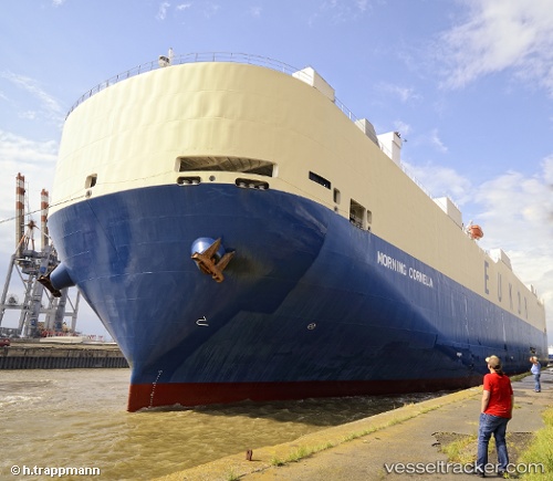
 MORNING CORNELIA
Current Status
Where is the vessel?
MORNING CORNELIA is currently in 267 nm NE of Port Mathurin, based on AIS data received about 14h ago.
Latest AIS update:
Current position: 16.47425° S, 66.66740° E (267 nm NE of Port Mathurin)
Average speed (last 7 days): Loading…
Average speed (last 30 days): Loading…
Vessel profile: MORNING CORNELIA is a Vehicles Carrier with dimensions m x m.
This page combines live AIS, route history, probable destination signals, nearby traffic, and port activity for practical vessel monitoring.
The current position of vessel MORNING CORNELIA is -16.47425 lat / 66.66740 lng. Updated: 2026-05-18 13:56:29 UTCNearest reference points:
- 154 nm NE of Port Mathurin
- Open sea, approx. 401 nm off the nearest listed port
- Open sea, approx. 400 nm off the nearest listed port
Currently sailing under the flag of South Korea ![]()
Details:
Live Vessel MORNING CORNELIA Analytics (details, animations, etc.)
Recent AIS points (UTC):
2026-05-18 09:20:07 UTC · -15.82128, 67.85087 · SOG 17.3 kn · COG 239°2026-05-18 10:06:20 UTC · -15.93478, 67.65522 · SOG 17.4 kn · COG 243°
2026-05-18 11:33:34 UTC · -16.13705, 67.28262 · SOG 16.9 kn · COG 241°
2026-05-18 13:56:29 UTC · -16.47425, 66.66740 · SOG 17.1 kn · COG 241°