 vesseltracker.com
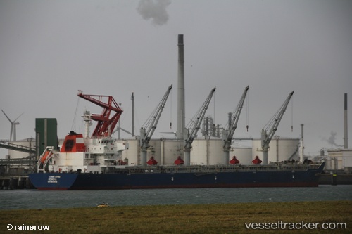
 STARLIGHT
Current Status
Where is the vessel?
STARLIGHT is currently in 19 nm SE of Santaella, based on AIS data received about 14h ago.
Latest AIS update:
Current position: 37.27775° N, 5.02465° E (19 nm SE of Santaella)
Average speed (last 7 days): Loading…
Average speed (last 30 days): Loading…
Vessel profile: STARLIGHT is a Bulk Carrier with dimensions m x m.
This page combines live AIS, route history, probable destination signals, nearby traffic, and port activity for practical vessel monitoring.
The current position of vessel STARLIGHT is 37.27775 lat / 5.02465 lng. Updated: 2026-05-18 05:34:39 UTCNearest reference points:
- Near Bejaia
- Near Carmona
- Near Zamoranos
Currently sailing under the flag of Liberia ![]()
Details:
Live Vessel STARLIGHT Analytics (details, animations, etc.)
Recent AIS points (UTC):
2026-05-18 00:58:24 UTC · 37.36855, 6.05428 · SOG 10.3 kn · COG 266°2026-05-18 03:39:49 UTC · 37.31857, 5.46013 · SOG 10.8 kn · COG 261°
2026-05-18 04:46:40 UTC · 37.29453, 5.20422 · SOG 11.1 kn · COG 262°
2026-05-18 05:34:39 UTC · 37.27775, 5.02465 · SOG 10.5 kn · COG 264°