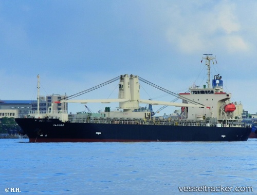
 ALAHAS
Current Status
Where is the vessel?
ALAHAS is currently in 115 nm N of Hatoma, based on AIS data received about 15h ago.
Latest AIS update:
Current position: 26.38167° N, 123.62667° E (115 nm N of Hatoma)
Average speed (last 7 days): Loading…
Average speed (last 30 days): Loading…
Vessel profile: ALAHAS is a General Cargo with dimensions m x m.
This page combines live AIS, route history, probable destination signals, nearby traffic, and port activity for practical vessel monitoring.
The current position of vessel ALAHAS is 26.38167 lat / 123.62667 lng. Updated: 2026-05-22 23:26:16 UTCNearest reference points:
- 120 nm NE of Nangang
- 76 nm NE of Nangang
- 97 nm SE of Wenling Longmen Port
Currently sailing under the flag of Panama ![]()
Details:
Live Vessel ALAHAS Analytics (details, animations, etc.)
Recent AIS points (UTC):
2026-05-22 20:07:34 UTC · 26.12348, 122.91222 · SOG 12.6 kn · COG 62°2026-05-22 22:08:17 UTC · 26.28333, 123.33667 · SOG 12 kn · COG -1°
2026-05-22 22:44:17 UTC · 26.33667, 123.47167 · SOG 13 kn · COG -1°
2026-05-22 23:26:16 UTC · 26.38167, 123.62667 · SOG 12 kn · COG -1°