 vesseltracker.com
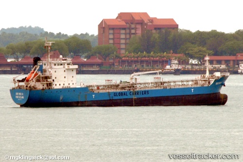
Mt.noni.t
Current StatusWhere is the vessel?
Mt.noni.t is currently in 22 nm W of Ambon, based on AIS data received about 14h ago.
Latest AIS update:
Current position: 3.58946° S, 127.82613° E (22 nm W of Ambon)
Average speed (last 7 days): Loading…
Average speed (last 30 days): Loading…
Vessel profile: Mt.noni.t is a Oil Products Tanker with dimensions 18m x 103m.
This page combines live AIS, route history, probable destination signals, nearby traffic, and port activity for practical vessel monitoring.
The current position of vessel Mt.noni.t is -3.58946 lat / 127.82613 lng. Updated: 2026-05-18 10:59:20 UTCNearest reference points:
- Near Ambon
- 55 nm S of Labuha, Molucas
- 69 nm NW of Wainibe
Details:
Live Vessel Mt.noni.t Analytics (details, animations, etc.)
Recent AIS points (UTC):
2026-05-18 07:26:07 UTC · -3.67984, 128.17065 · SOG 1.9 kn · COG 201°2026-05-18 07:48:15 UTC · -3.69505, 128.15327 · SOG 6.5 kn · COG 229°
2026-05-18 09:47:03 UTC · -3.75188, 127.91819 · SOG 10.9 kn · COG 325°
2026-05-18 10:59:20 UTC · -3.58946, 127.82613 · SOG 9.4 kn · COG 328°