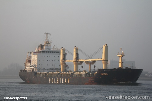
 VERACRUZ
Current Status
Where is the vessel?
VERACRUZ is currently in Near WALVIS BAY, based on AIS data received about 14h ago.
Latest AIS update:
Current position: 22.85954° S, 14.52336° E (Near WALVIS BAY)
Average speed (last 7 days): Loading…
Average speed (last 30 days): Loading…
Vessel profile: VERACRUZ is a Bulk Carrier with dimensions m x m.
This page combines live AIS, route history, probable destination signals, nearby traffic, and port activity for practical vessel monitoring.
The current position of vessel VERACRUZ is -22.85954 lat / 14.52336 lng. Updated: 2026-05-21 01:24:17 UTCNearest reference points:
- Near WALVIS BAY
Currently sailing under the flag of Liberia ![]()
Details:
Live Vessel VERACRUZ Analytics (details, animations, etc.)
Recent AIS points (UTC):
2026-05-20 22:03:15 UTC · -22.85710, 14.52309 · SOG 0.1 kn · COG 179°2026-05-20 23:06:16 UTC · -22.85720, 14.52313 · SOG 0 kn · COG 181°
2026-05-20 23:24:17 UTC · -22.85723, 14.52300 · SOG 0.1 kn · COG 172°
2026-05-21 01:24:17 UTC · -22.85954, 14.52336 · SOG 0.1 kn · COG 335°