 SONATA
Current Status
Where is the vessel?
SONATA is currently in 18 nm E of Albanchez, based on AIS data received about 15h ago.
Latest AIS update:
Current position: 37.33902° N, 2.55832° E (18 nm E of Albanchez)
Average speed (last 7 days): Loading…
Average speed (last 30 days): Loading…
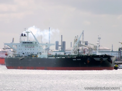
Vessel profile: SONATA is a Crude Oil Tanker with dimensions m x m.
This page combines live AIS, route history, probable destination signals, nearby traffic, and port activity for practical vessel monitoring.
The current position of vessel SONATA is 37.33902 lat / 2.55832 lng. Updated: 2026-05-19 17:21:53 UTCNearest reference points:
- 17 nm S of Albanchez
- 16 nm NE of Berja
- Near Algiers
Currently sailing under the flag of Russia ![]()
Details:
Live Vessel SONATA Analytics (details, animations, etc.)
Recent AIS points (UTC):
2026-05-19 13:37:37 UTC · 37.46531, 3.58783 · SOG 12.9 kn · COG 264°2026-05-19 15:57:39 UTC · 37.41736, 2.94640 · SOG 13.6 kn · COG 268°
2026-05-19 16:20:29 UTC · 37.40790, 2.83896 · SOG 13.5 kn · COG 253°
2026-05-19 17:21:53 UTC · 37.33902, 2.55832 · SOG 13.7 kn · COG 259°