 vesseltracker.com
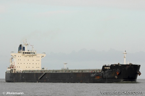
 MAHA YAYA
Current Status
Where is the vessel?
MAHA YAYA is currently in 253 nm W of Tinaquillo, based on AIS data received about 16h ago.
Latest AIS update:
Current position: 9.63314° N, 64.03899° E (253 nm W of Tinaquillo)
Average speed (last 7 days): Loading…
Average speed (last 30 days): Loading…
Vessel profile: MAHA YAYA is a Bulk Carrier with dimensions m x m.
This page combines live AIS, route history, probable destination signals, nearby traffic, and port activity for practical vessel monitoring.
The current position of vessel MAHA YAYA is 9.63314 lat / 64.03899 lng. Updated: 2026-05-18 10:52:42 UTCNearest reference points:
- Open sea, approx. 401 nm off the nearest listed port
- Open sea, approx. 403 nm off the nearest listed port
- Open sea, approx. 405 nm off the nearest listed port
Currently sailing under the flag of India ![]()
Details:
Live Vessel MAHA YAYA Analytics (details, animations, etc.)
Recent AIS points (UTC):
2026-05-18 07:20:02 UTC · 9.16105, 63.64841 · SOG 9.6 kn · COG 40°2026-05-18 08:39:36 UTC · 9.33296, 63.79036 · SOG 10.3 kn · COG 39°
2026-05-18 08:39:36 UTC · 9.33296, 63.79036 · SOG 10.3 kn · COG 39°
2026-05-18 10:52:42 UTC · 9.63314, 64.03899 · SOG 10.4 kn · COG 37°