 TANGIER EXPRESS
Current Status
Where is the vessel?
TANGIER EXPRESS is currently in 93 nm E of Honghai, based on AIS data received about 14h ago.
Latest AIS update:
Current position: 19.56397° N, 112.65682° E (93 nm E of Honghai)
Average speed (last 7 days): Loading…
Average speed (last 30 days): Loading…
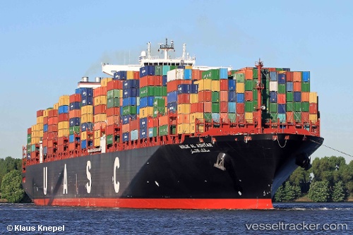
Vessel profile: TANGIER EXPRESS is a Container Ship with dimensions m x m.
This page combines live AIS, route history, probable destination signals, nearby traffic, and port activity for practical vessel monitoring.
The current position of vessel TANGIER EXPRESS is 19.56397 lat / 112.65682 lng. Updated: 2026-05-20 06:19:41 UTCNearest reference points:
- 123 nm S of Shadi
- 49 nm S of Shadi
- 57 nm NE of Honghai
Currently sailing under the flag of Liberia ![]()
Details:
Live Vessel TANGIER EXPRESS Analytics (details, animations, etc.)
Recent AIS points (UTC):
2026-05-20 02:16:20 UTC · 20.32992, 113.01238 · SOG 12.2 kn · COG 199°2026-05-20 03:42:31 UTC · 20.05437, 112.88928 · SOG 12.1 kn · COG 199°
2026-05-20 04:50:01 UTC · 19.84174, 112.79118 · SOG 12.4 kn · COG 202°
2026-05-20 06:19:41 UTC · 19.56397, 112.65682 · SOG 12.3 kn · COG 202°