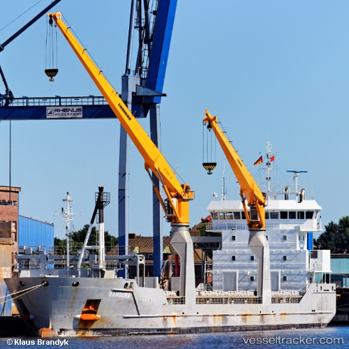
 Bandura
Current Status
Where is the vessel?
Bandura is currently in 14 nm NW of Thyborøn, based on AIS data received about 14h ago.
Latest AIS update:
Current position: 56.85458° N, 7.90229° E (14 nm NW of Thyborøn)
Average speed (last 7 days): Loading…
Average speed (last 30 days): Loading…
Vessel profile: Bandura is a Multi Purpose Carrier with dimensions 118m x 16m.
This page combines live AIS, route history, probable destination signals, nearby traffic, and port activity for practical vessel monitoring.
The current position of vessel Bandura is 56.85458 lat / 7.90229 lng. Updated: 2026-05-19 12:01:38 UTCNearest reference points:
- Near Thyborøn
- Near HANSTHOLM
- Near Kleppen
Currently sailing under the flag of Netherlands ![]()
Bandura built in 2010 year
Deadweight:
8217 tDetails:
Live Vessel Bandura Analytics (details, animations, etc.)
Recent AIS points (UTC):
2026-05-19 08:01:19 UTC · 56.08346, 7.24934 · SOG 12.9 kn · COG 23°2026-05-19 10:07:18 UTC · 56.48699, 7.60368 · SOG 12.5 kn · COG 24°
2026-05-19 10:28:08 UTC · 56.55354, 7.65902 · SOG 12.6 kn · COG 23°
2026-05-19 12:01:38 UTC · 56.85458, 7.90229 · SOG 12.5 kn · COG 23°