 CETUS SEI
Current Status
Where is the vessel?
CETUS SEI is currently in 75 nm E of Kaohsiung, based on AIS data received about 14h ago.
Latest AIS update:
Current position: 22.71600° N, 121.66607° E (75 nm E of Kaohsiung)
Average speed (last 7 days): Loading…
Average speed (last 30 days): Loading…
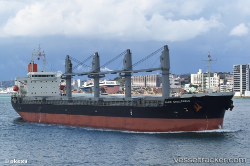
Vessel profile: CETUS SEI is a Cargo with dimensions m x m.
This page combines live AIS, route history, probable destination signals, nearby traffic, and port activity for practical vessel monitoring.
The current position of vessel CETUS SEI is 22.71600 lat / 121.66607 lng. Updated: 2026-05-21 19:33:50 UTCNearest reference points:
- 55 nm S of Hua-Lien Kang
- 26 nm SE of Kaohsiung
- 11 nm SE of Kaohsiung
Currently sailing under the flag of Marshall Islands ![]()
Details:
Live Vessel CETUS SEI Analytics (details, animations, etc.)
Recent AIS points (UTC):
2026-05-21 17:08:29 UTC · 22.27479, 121.47213 · SOG 11.9 kn · COG 25°2026-05-21 18:22:08 UTC · 22.49092, 121.57479 · SOG 11.7 kn · COG 25°
2026-05-21 19:23:22 UTC · 22.67833, 121.65500 · SOG 13 kn · COG -1°
2026-05-21 19:33:50 UTC · 22.71600, 121.66607 · SOG 12.8 kn · COG 13°