 MAERSK LA PAZ
Current Status
Where is the vessel?
MAERSK LA PAZ is currently in 148 nm SE of Barra de Santo Antonio, based on AIS data received about 14h ago.
Latest AIS update:
Current position: 10.64269° S, 33.32098° W (148 nm SE of Barra de Santo Antonio)
Average speed (last 7 days): Loading…
Average speed (last 30 days): Loading…
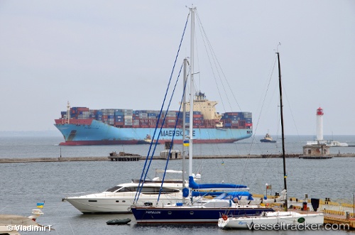
Vessel profile: MAERSK LA PAZ is a Container Ship with dimensions m x m.
This page combines live AIS, route history, probable destination signals, nearby traffic, and port activity for practical vessel monitoring.
The current position of vessel MAERSK LA PAZ is -10.64269 lat / -33.32098 lng. Updated: 2026-05-20 03:22:30 UTCNearest reference points:
- 157 nm SE of Maceio
- Near Suape
Currently sailing under the flag of Denmark ![]()
Details:
Live Vessel MAERSK LA PAZ Analytics (details, animations, etc.)
Recent AIS points (UTC):
2026-05-19 23:51:34 UTC · -9.74167, -32.91000 · SOG 16 kn · COG -1°2026-05-20 01:51:33 UTC · -10.25167, -33.14333 · SOG 16 kn · COG -1°
2026-05-20 02:10:11 UTC · -10.33252, -33.18008 · SOG 16.7 kn · COG 205°
2026-05-20 03:22:30 UTC · -10.64269, -33.32098 · SOG 16.8 kn · COG 205°