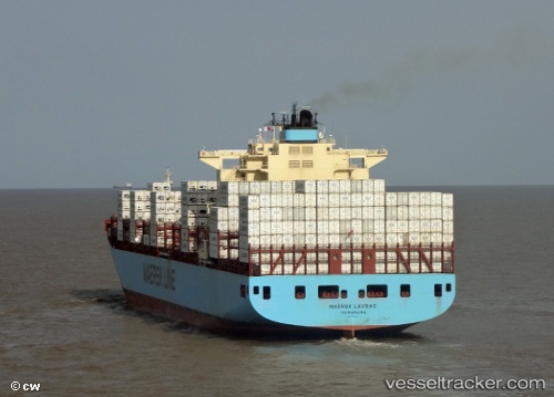
 MAERSK LAVRAS
Current Status
Where is the vessel?
MAERSK LAVRAS is currently in 39 nm SE of Loop Terminal, based on AIS data received about 14h ago.
Latest AIS update:
Current position: 28.27167° N, 89.63500° W (39 nm SE of Loop Terminal)
Average speed (last 7 days): Loading…
Average speed (last 30 days): Loading…
Vessel profile: MAERSK LAVRAS is a Container Ship with dimensions m x m.
This page combines live AIS, route history, probable destination signals, nearby traffic, and port activity for practical vessel monitoring.
The current position of vessel MAERSK LAVRAS is 28.27167 lat / -89.63500 lng. Updated: 2026-05-19 05:48:58 UTCNearest reference points:
- Near Port Fourchon
- Near Pilottown
- Near FOURCHON
Currently sailing under the flag of Denmark ![]()
Details:
Live Vessel MAERSK LAVRAS Analytics (details, animations, etc.)
Recent AIS points (UTC):
2026-05-19 01:48:07 UTC · 28.01667, -90.17167 · SOG 1 kn · COG -1°2026-05-19 03:51:08 UTC · 28.12500, -89.93500 · SOG 9 kn · COG -1°
2026-05-19 03:51:08 UTC · 28.12500, -89.93500 · SOG 9 kn · COG -1°
2026-05-19 05:48:58 UTC · 28.27167, -89.63500 · SOG 9 kn · COG -1°