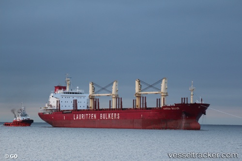
 CLIPPER APOLLONIA
Current Status
Where is the vessel?
CLIPPER APOLLONIA is currently in 31 nm SW of Bentota River Apt, based on AIS data received about 14h ago.
Latest AIS update:
Current position: 6.07333° N, 79.58833° E (31 nm SW of Bentota River Apt)
Average speed (last 7 days): Loading…
Average speed (last 30 days): Loading…
Vessel profile: CLIPPER APOLLONIA is a Bulk Carrier with dimensions 180m x 180m.
This page combines live AIS, route history, probable destination signals, nearby traffic, and port activity for practical vessel monitoring.
The current position of vessel CLIPPER APOLLONIA is 6.07333 lat / 79.58833 lng. Updated: 2026-05-22 05:21:24 UTCNearest reference points:
- 19 nm SW of Bataduwa
- 38 nm SW of Galle
- 67 nm SW of Moratuwa
Currently sailing under the flag of Marshall Islands ![]()
CLIPPER APOLLONIA built in 2010 year
Deadweight:
32755 tDetails:
Live Vessel CLIPPER APOLLONIA Analytics (details, animations, etc.)
Recent AIS points (UTC):
2026-05-22 01:20:36 UTC · 6.18661, 79.47747 · SOG 2.2 kn · COG 157°2026-05-22 04:12:27 UTC · 6.11167, 79.56167 · SOG 2 kn · COG -1°
2026-05-22 04:18:37 UTC · 6.10996, 79.56498 · SOG 2.7 kn · COG 204°
2026-05-22 05:21:24 UTC · 6.07333, 79.58833 · SOG 2 kn · COG -1°