 HENRIKA SCHULTE
Current Status
Where is the vessel?
HENRIKA SCHULTE is currently in 140 nm SE of Saint George, based on AIS data received about 1d ago.
Latest AIS update:
Current position: 31.25518° N, 62.28628° W (140 nm SE of Saint George)
Average speed (last 7 days): Loading…
Average speed (last 30 days): Loading…
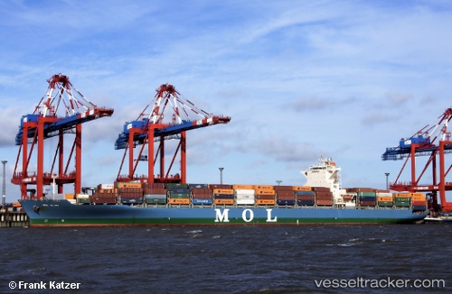
Vessel profile: HENRIKA SCHULTE is a Cargo A with dimensions m x m.
This page combines live AIS, route history, probable destination signals, nearby traffic, and port activity for practical vessel monitoring.
The current position of vessel HENRIKA SCHULTE is 31.25518 lat / -62.28628 lng. Updated: 2026-05-21 13:06:13 UTCNearest reference points:
- 247 nm E of Saint George
Currently sailing under the flag of Singapore ![]()
Details:
Live Vessel HENRIKA SCHULTE Analytics (details, animations, etc.)
Recent AIS points (UTC):
2026-05-21 13:06:13 UTC · 31.25518, -62.28628 · SOG 13.9 kn · COG 246°2026-05-21 13:06:13 UTC · 31.25518, -62.28628 · SOG 13.9 kn · COG 246°
2026-05-21 13:06:13 UTC · 31.25518, -62.28628 · SOG 13.9 kn · COG 246°
2026-05-21 13:06:13 UTC · 31.25518, -62.28628 · SOG 13.9 kn · COG 246°