 vesseltracker.com
 GATEWAY
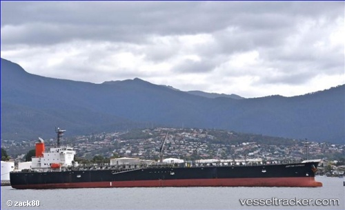
Current Status
Where is the vessel?
GATEWAY is currently in Near Chittagong, based on AIS data received about 15h ago.
Latest AIS update:
Current position: 22.27258° N, 91.80766° E (Near Chittagong)
Average speed (last 7 days): Loading…
Average speed (last 30 days): Loading…
Vessel profile: GATEWAY is a Oil Products Tanker with dimensions m x m.
This page combines live AIS, route history, probable destination signals, nearby traffic, and port activity for practical vessel monitoring.
The current position of vessel GATEWAY is 22.27258 lat / 91.80766 lng. Updated: 2026-05-18 01:34:57 UTCNearest reference points:
- Near Chittagong
- 12 nm NW of Chattogram
- 23 nm NW of Cox's Bazar
Currently sailing under the flag of India ![]()
Details:
Live Vessel GATEWAY Analytics (details, animations, etc.)
Recent AIS points (UTC):
2026-05-17 22:29:38 UTC · 22.27264, 91.80765 · SOG 0 kn · COG 118°2026-05-17 23:58:17 UTC · 22.27258, 91.80764 · SOG 0.1 kn · COG 118°
2026-05-18 01:09:07 UTC · 22.27258, 91.80768 · SOG 0 kn · COG 118°
2026-05-18 01:34:57 UTC · 22.27258, 91.80766 · SOG 0.1 kn · COG 118°